Presenting Research at the ICCIES 2026 International Conference
At The 2nd International Conference on Computational Intelligence in Engineering Science (ICCIES 2026), Mr. Vu Quang Hai, a former member of the GEOI group, presented his research titled “Research And Development Of A Crop Identification Map Using Multi-Source Remote Sensing Data.” This work was also the result of Hai’s undergraduate thesis, developed during his studies and research at the university.
ICCIES 2026 is an international scientific conference on computational intelligence in engineering science, held from April 2 to April 4, 2026, at Ton Duc Thang University, Nha Trang campus, Khanh Hoa, Vietnam. The conference was organized by Ton Duc Thang University in collaboration with several international partners. It serves as an academic forum connecting researchers, lecturers, experts, and students in fields such as artificial intelligence, computational intelligence, data science, computer vision, and engineering applications. According to the official announcement, the conference proceedings are published in Springer’s CCIS series.
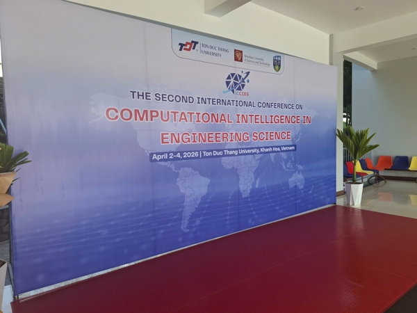
ICCIES 2026 Conference
The presenter, Vu Quang Hai, is the first author of the study, together with co-authors Ngo Xuan Truong, Le Nguyen Khoi, and Nguyen Thi Nhat Thanh from the VNU University of Engineering and Technology, Vietnam National University, Hanoi. The presentation focused on the development of a crop identification map using multi-source remote sensing data, with a case study on cassava field segmentation in Tan Hoi Commune, Tan Chau District, Vietnam. The research team used Sentinel-2 satellite imagery, combined with the NDVI index and deep learning models such as U-Net, Vision Transformer, and Prithvi EO 2.0 to identify cassava cultivation areas. The results showed that Prithvi EO 2.0 achieved the best performance among the three tested models, highlighting the potential of artificial intelligence for crop monitoring, precision agriculture, and agricultural resource management.
A notable aspect of the study is its focus on addressing a practical challenge in Vietnam, where cassava plays an important role in agricultural production, yet monitoring cultivation areas remains difficult if based solely on manual field surveys. By applying satellite data and modern deep learning models, the study opens up possibilities for automating and scaling up crop monitoring, thereby supporting land-use planning, seasonal crop management, and sustainable agricultural development.
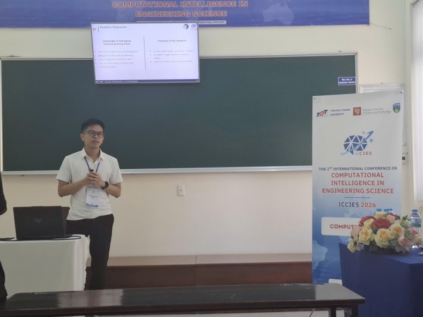
Vu Quang Hai presenting at the conference
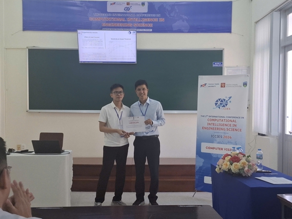
Vu Quang Hai receiving the certificate