News
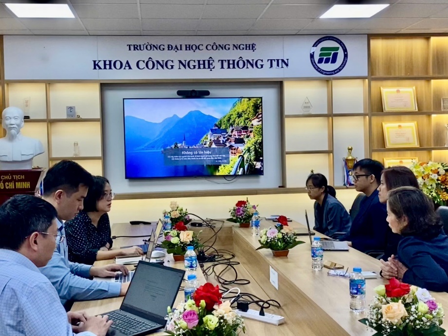
GISTDA Visits the University of Technology, Vietnam National University, Hanoi
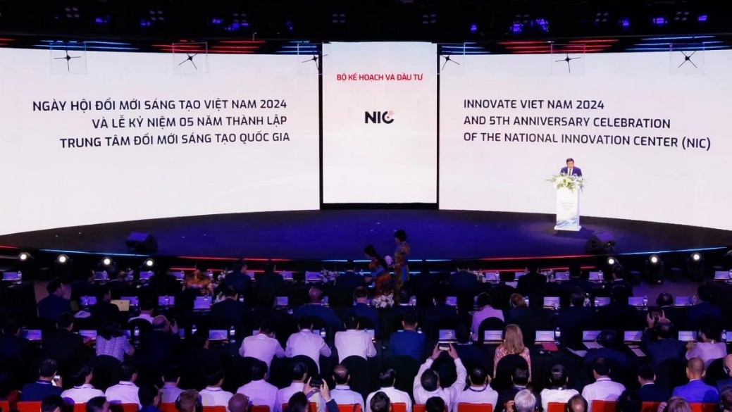
Innovate Viet Nam 2024 and 5th anniversary celebration of the national innovation center (NIC)
Happy Vietnamese Women’s Day, October 20
3rd International Conference on Intelligent System (ICIS-2024)

Happy Birthday to Our October Members
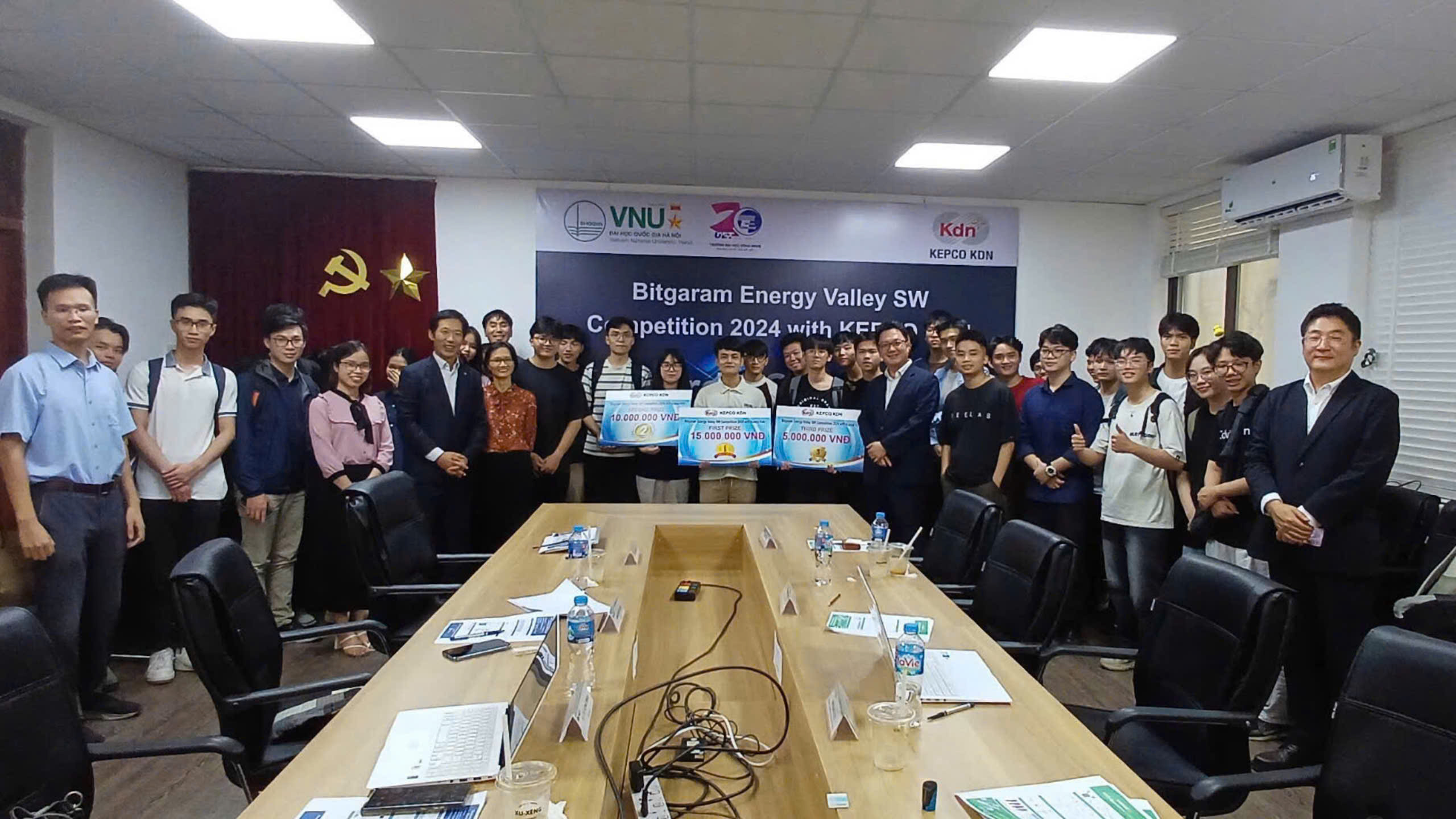
Bitgaram Energy Valley SW Competition 2024 with KEPCO KDN
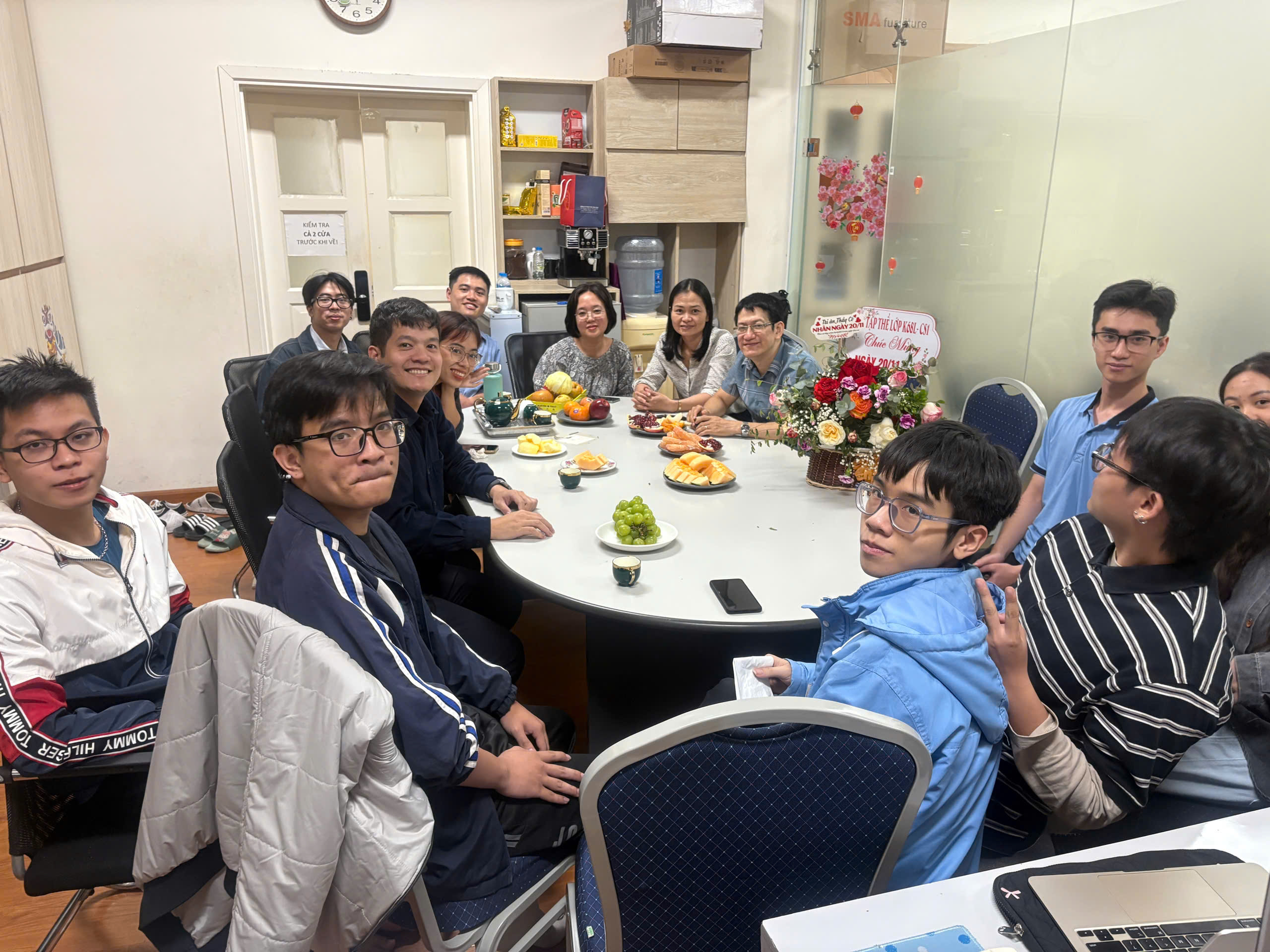
Happy Vietnamese Teacher's Day 20/11
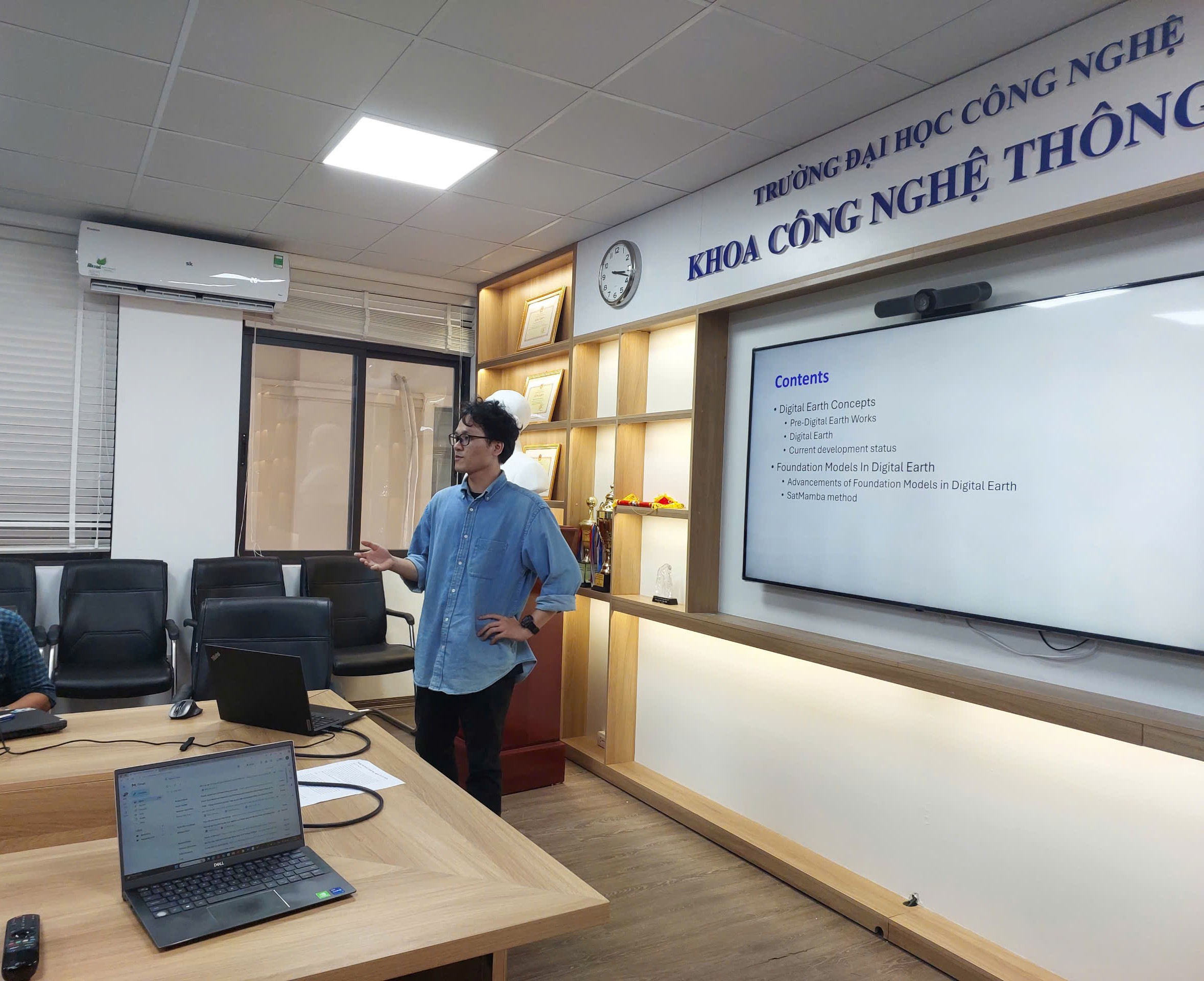
Periodic Scientific Seminar, Department of Computer Science (Faculty of IT), University of Technology
Periodic Scientific Seminar, Department of Computer Science (Faculty of IT), University of Technology
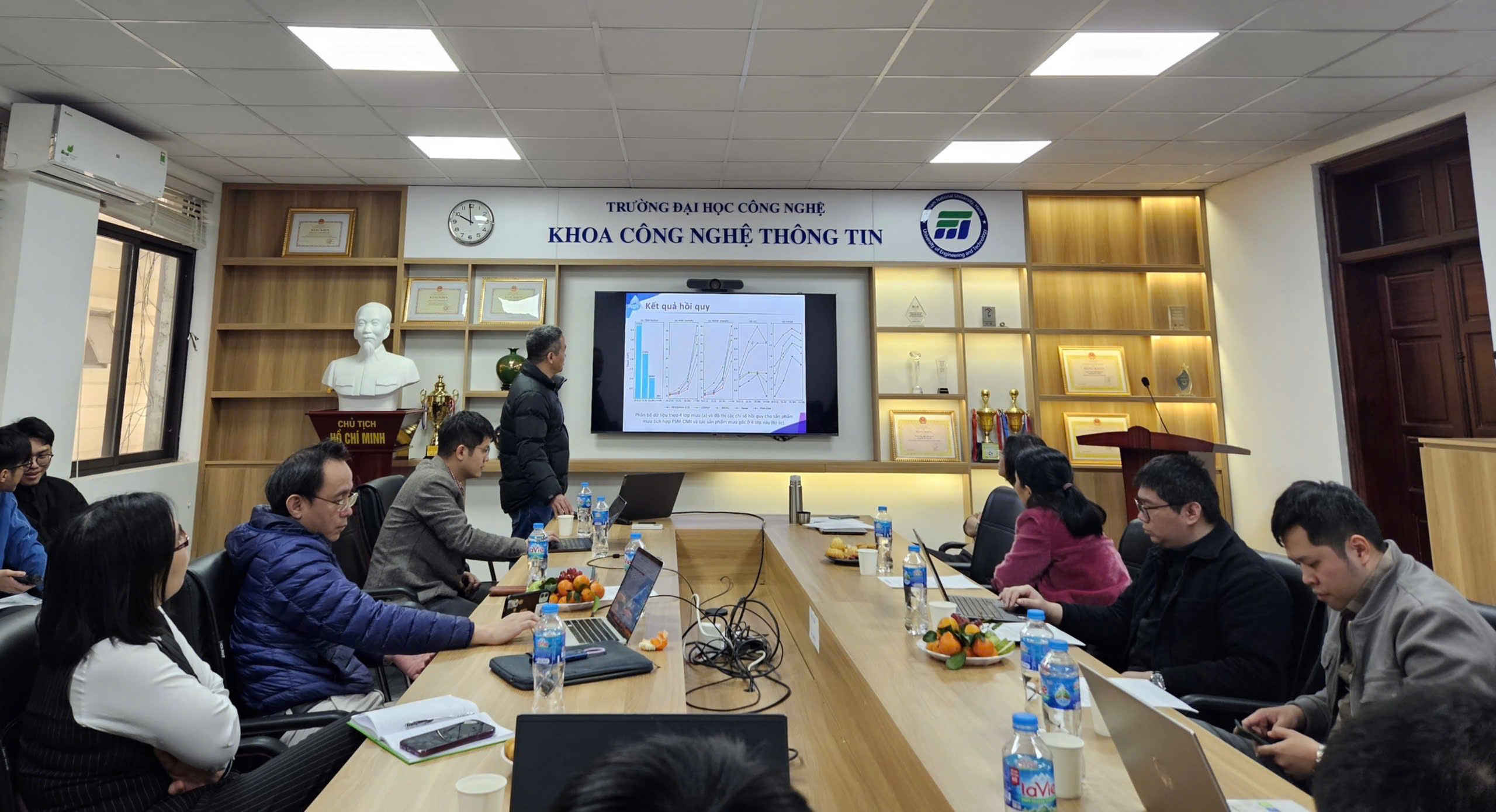
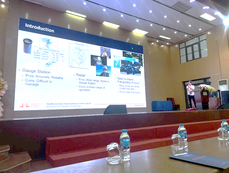
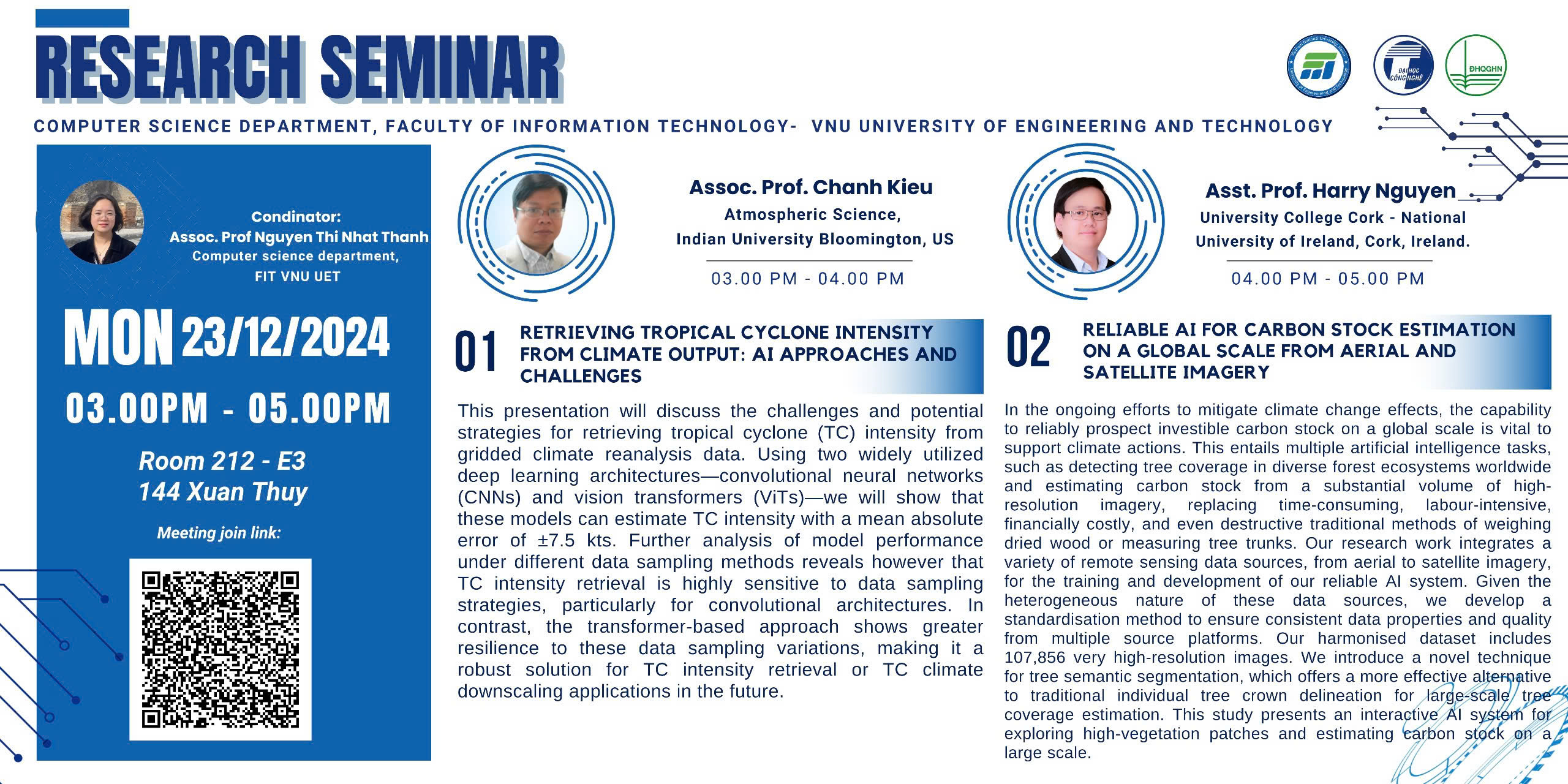
Workshop on “Research and development of a precipitation estimation methodology using INtergrateD RAinfall measurements platform for agriculture (INDRA), a bilateral research project between Vietnam – Italy”

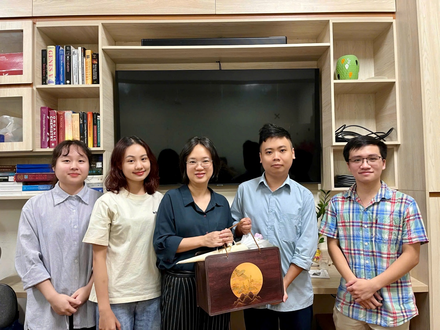
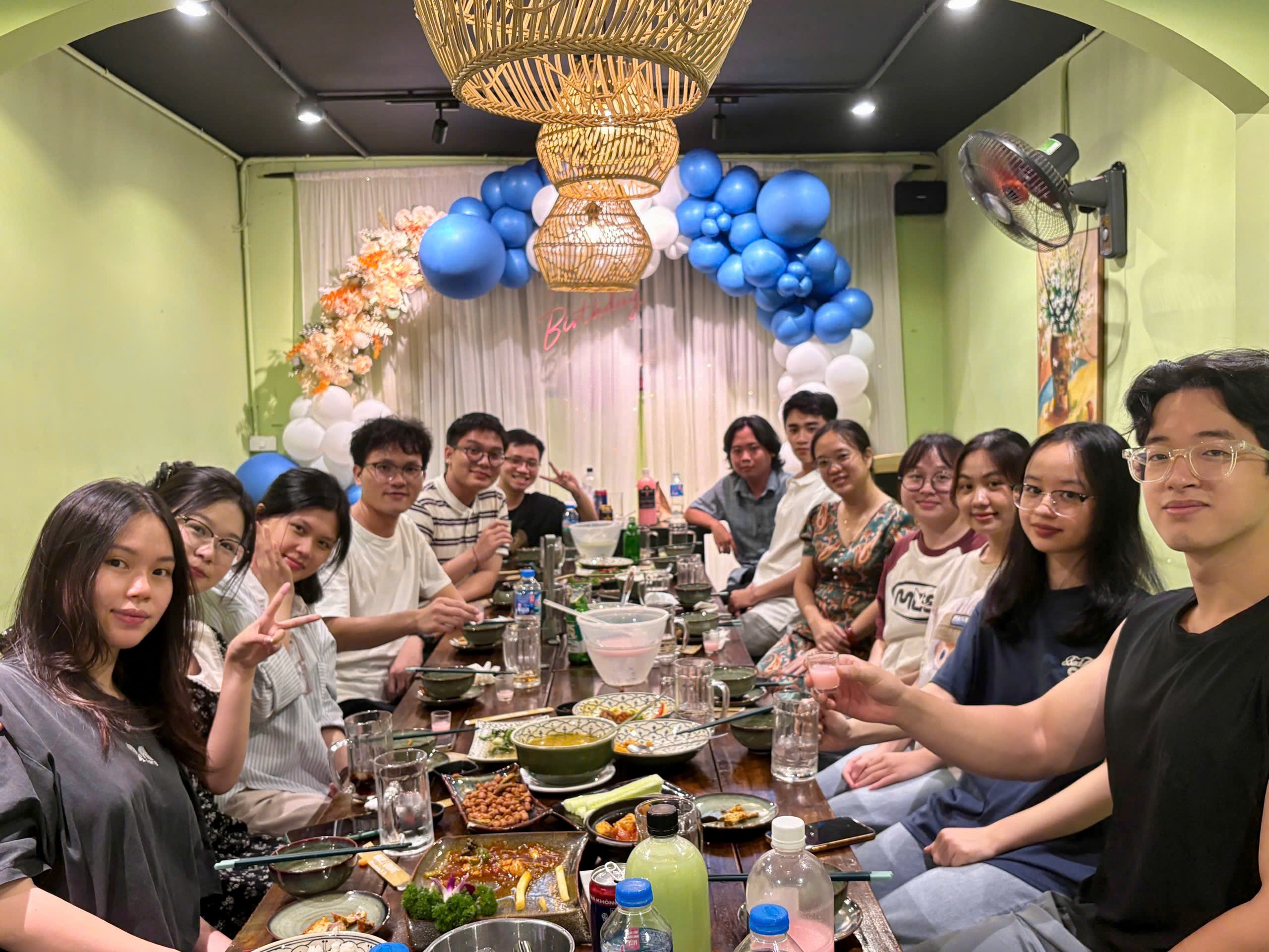
Spring Gathering and Celebrating Ms. Thanh's Birthday
Congratulations to Phuong on Receiving the Erasmus Mundus Master's Scholarship in Geospatial Technology
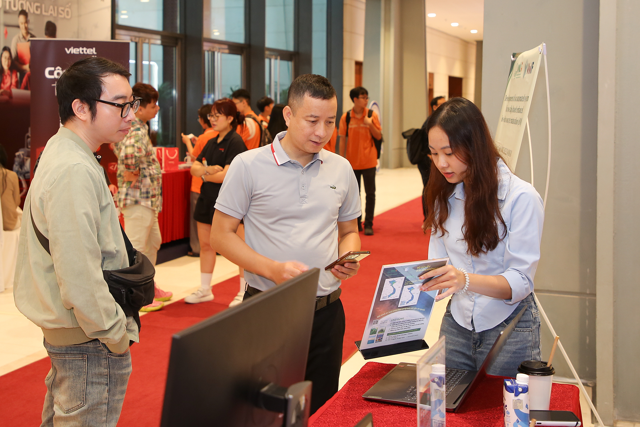
GEOI Team and Air Quality Forecast and Early Warning System at AI4VN 2025 Exhibition

Exchange internship program at Indiana University
GEOI is initiated at VNU UET in August 2012.
Before July 2021, GEOI is under FIMO center at VNU UET. Currently, the team is located at the Faculty of Information Technology, VNU UET.
Air pollution
Climate
Land Cover & Land Use
Applications

Mobile and WebGIS application to automatically collect, store, process and visualize data and to provide different services

Development of scientific environmental and climate datasets and reports for Vietnam

Data processing and analyzing services
Partners


 Vietnam Meteorological and Hydrological Administration (VNMHA)")


